Heritage maps
Over 145 years of NSW geology
On 1 January 1875 the Geological Survey of New South Wales was formed under the leadership of Charles Smith Wilkinson, in the fledgling Department of Mines, established three months earlier.
The task of the Geological Survey was to prepare regional and geological maps, to search for new mineral fields and underground water resources and to collect rock and fossil samples for the former Geological and Mining Museum. The collection of such scientific data was recorded in reports and publications, accompanied by a wide range of maps and plans.
Reports and publications produced by the Geological Survey since 1875 have been scanned and can be accessed through the Department's DIGS® system.
Most of the earlier base maps were created by the Department of Lands, Premier's Department or Surveyor General's Office. As geological heritage maps, the term created by acknowledges the generation of the geological information.
Distinguished heritage and parish maps
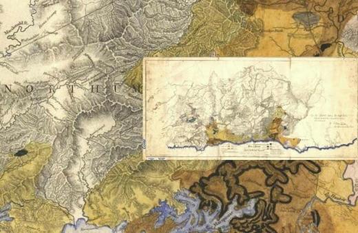
The department's collection of more than 500 heritage geological maps is in the process of being catalogued, conserved, scanned and archived. This page provides a selection of the most significant of these maps to view and download. As this page is developed, more detail will be available on the significance of these maps and the geologists, surveyors and cartographers who created them. In the future high quality copies of these maps will also be available for purchase.
A unique collection of over 800 geologically notated parish maps is also being captured and a small sample is provided.